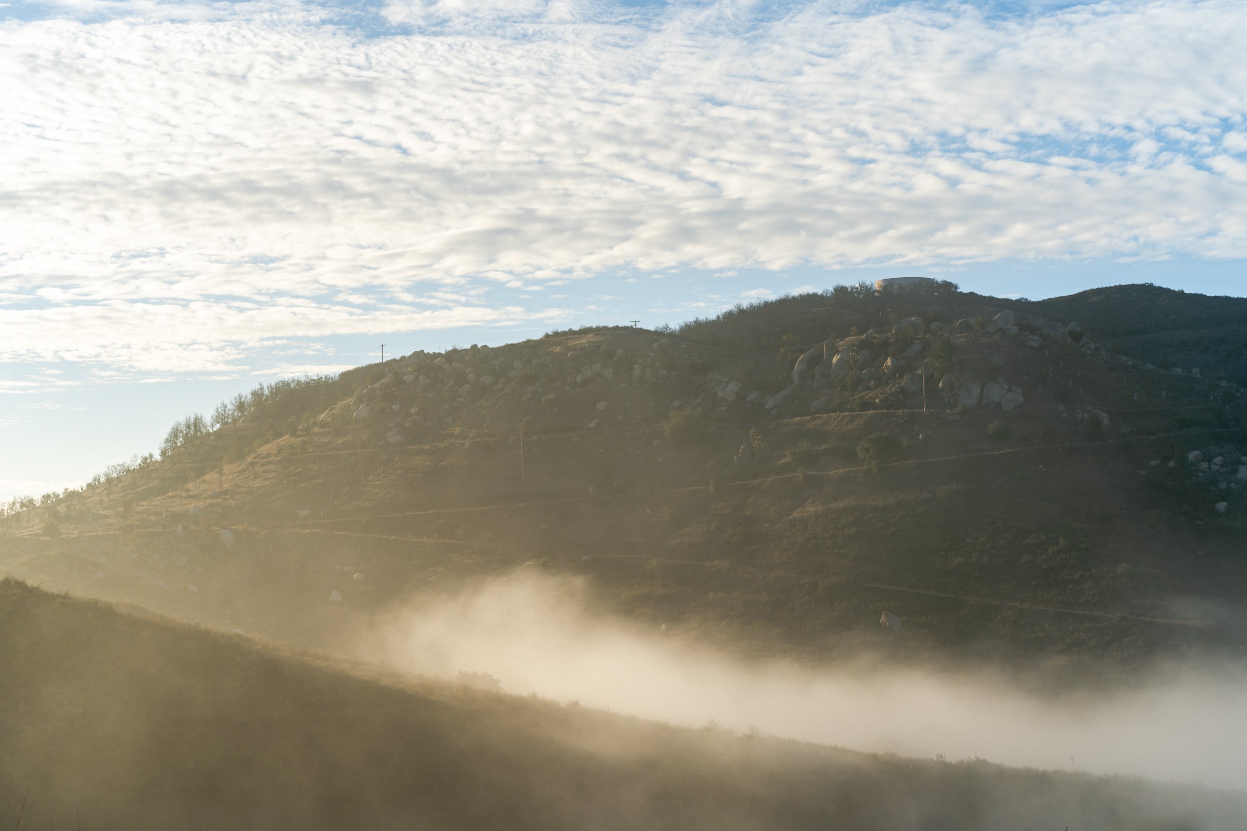
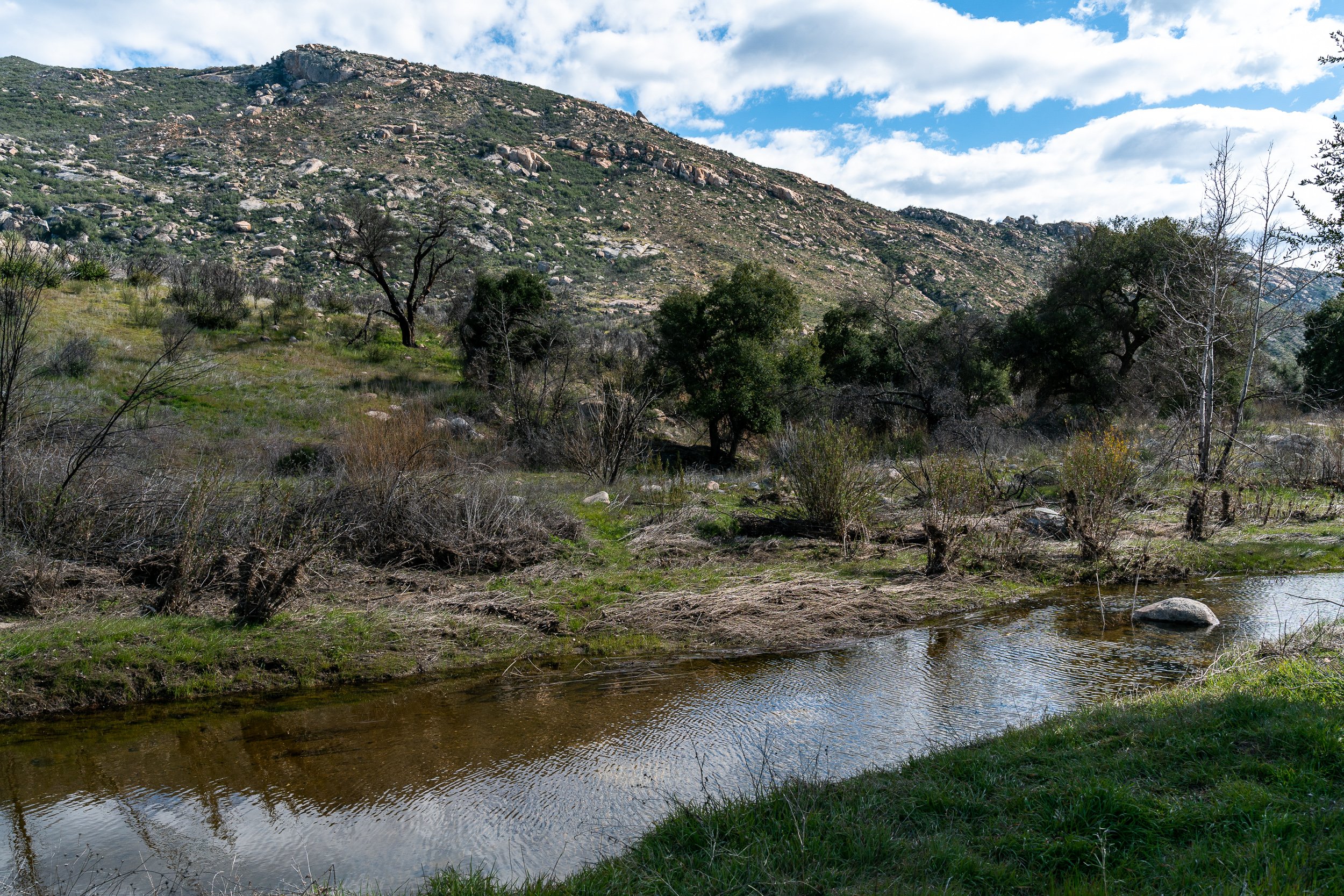
Cleveland National Forest
Trails Covered
Corte Madera ~7 miles
Three Sisters Falls ~4 miles
Lawson Peak Trail ~4.5 miles
Eagle Rock Via PCT ~6.5 miles
Viejas Mountain Trail ~3 miles
Clevenger Canyon ~4 miles
South Clevenger Canyon ~4 miles
North Clevenger Canyon ~4.5 miles
Espinosa / Horsethief Canyon Loop trail ~4.5 miles
Volcan Mountain Trail ~5 miles
Desert View Loop (William Heise) ~2 miles
Hot Springs Mountain Trail ~10.5 miles
Cedar Creek Falls ~5.5 miles
Santa Ysabel Preserve West Trail ~5.6 miles
Santa Ysabel East Preserve Trail ~4 miles
Kitchen Creek Falls Trail ~4.5 miles
Eagle Peak via Three Sisters Falls ~4.2 miles
McGinty Mountain Trail ~4.5 miles
Corte Madera
One of the most underrated hikes in San Diego (also known as San Diego’s Half Dome). There is a point on the hike when you look up and you can see the giant granite boulder - in addition to the beautiful pine trees and some amazing views of the Cleveland National Forest at the top. This hike is an absolute must-do for every San Diego hiker.
~7 miles | ~1,500 feet elevation gain | Out and back trail
Recommendation: don’t wear loose clothing - the trail is very overgrown


Three Sisters Falls Trail
As I mentioned in the video, the Three Sisters Falls Trail could be considered the best trail in San Diego following some rain. Although this trail is still popular even when the falls are not fully flowing, it is best to visit in the years when San Diego gets some rain. I recorded this video in early January 2023 and as you can see, the falls are GLOWING and I was so happy to see them like this. I waited years to make this trail guide specifically because I wanted to showcase the falls flowing.
~4.1 miles | ~1,000 feet elevation gain | Out and back trail
Recommendation: Starting downhill first can be deceiving. Bring more water than you think you need and appropriate footwear

Lawson Peak Trail
Lawson Peak is an interesting hike because the summit climb is basically a ‘build your own adventure’. ‘AllTrails’ has an official trail but we struggled to find it. Be prepared to boulder climb, jump, go through narrow holes (yup) and most importantly, have a good time! This trail also features a small cave.
~4.5 miles | ~1,500 feet elevation gain | Out and back trail
Recommendation: Don’t take your dog or your kid


Eagle Rock via PCT
Eagle Rock is well known in San Diego for heaving a huge rock formation that looks like an eagle. The PCT part of this trail is enjoyable, but very hot in the summer. The elevation for this hike is gradual and if you get lucky, you might make some new friends on this trail (MOOOOOOOO).
~6.5 miles | ~850 feet elevation gain | Out and back trail
Dogs allowed | Kid Friendly


Viejas Mountain Trail
A short but very steep hike. The trail is narrow and a bit overgrown at the top. Enjoy beautiful videos at the top and on a clear day, you can see all the way to the pacific ocean!
~3 miles | ~1,500 feet elevation gain | Out and back trail
Recommendation: dog friendly, but a bit too steep and loose for children.


Clevenger Canyon
We intended to do Clevenger Canyon South West Traill. However, we took a wrong turn and ended up going on a trail that currently does not officially exist. This trail was pretty but very overgrown. I recommend you stay on the ‘South Clevenger Trail’.
~4 miles | ~1,200 feet elevation gain | Out and back trail
Recommendation: Dogs allowed | Kid Friendly


South Clevenger Canyon
An absolutely beautiful hike with fantastic views of San Pasqual. These short hikes are perfect for sunrise or sunset hiking and tend to be less busy.
~4 miles | ~1,200 feet elevation gain | Out and back trail
Recommendation: Make sure you find both the bench and the chairs at the end of the trail

North Clevenger Canyon
North Clevenger is not as enjoyable as South Clevenger. The amount of graffiti on this trail is unfortunate, but the views are rewarding at the top. This canyon has been carved by Santa Ysabel Creek, which drains the Volcan Mountains before making its way through San Diego’s northern backcountry.
~4.5 miles | ~1,400 feet elevation gain | Out and back trail
Recommendation: Bring pants and tighter clothing - this trail is overgrown in many areas.


Espinosa / Horsethief Canyon Loop | Pine Creek Wilderness
Espinosa Trail and Horsethief Canyon are very commonly confused trails. Most of the time, when people say they want to hike Horsethief Canyon, they actually mean Espinosa trail. This is a short hike down to a small swimming hole surrounded by rocks. A very peaceful and easy hike, but remember that the hike is all downhill first - the hard part is coming back up. Lastly, if you have the time and want to challenge yourself more, you can make this hike a mile longer by doing a loop (watch the video for details).
~4.4 miles | ~740 feet elevation gain | Loop trail
Dogs allowed | Kid Friendly (Trail by Espinosa Creek is very overgrown)
Volcan Mountain Trail
Volcan Mountain is a beautiful trail located just 5 minutes from Julian. Although the hike does not offer a peak, it has amazing views west towards the pacific ocean and east towards San Jacinto Mountain.
This hike will definitely make your legs burn a bit but flattens out at the top with great views.
~5 miles | ~1,200 feet elevation gain | Out and back trail
Dogs allowed | Kid Friendly


Desert View Loop Trail | William Heise County Park
The Desert View Loop Trail at William Heise County Park is a beautiful place to explore. I cover what you need to know in the video, including my recommendation on going counterclockwise first - heading up to Glen S. Wyatt Memorial Viewpoint. Do not forget about the $3 day use fee.
~2 miles | ~600 feet elevation gain | Loop trail
Dogs allowed | Kid Friendly

Hot Springs Mountain Trail
The highest peak in San Diego!
Hot Springs Mountain Trail is located in the Los Coyotes Indian Reservation. It is important to remember that the fee is $10 per person when you are visiting. This hike has gorgeous views all around. Make sure you watch the video to understand the challenges that come with this hike - especially at the peak.
~10.5 miles | ~2,500 feet elevation gain | Out and back trail
Dogs allowed | Kid Friendly


Cedar Creek Falls (Permit Required)
Cedar Creek Falls is an amazing waterfall hike in San Diego (a rare option here) and I recommend it during non-summer months. As I mention in the video, the trail guide starts at the end and shows the way back. The reason I did this is to show you that the return trip is what many people underestimate here in San Diego. This hike is also unique in that you descend first and then climb back up on your way back.
~5.6 miles | ~1,050 feet elevation gain | Out and back trail
Dogs allowed | Kid Friendly


Santa Ysabel Preserve West Trail
Oak trees along the preserve make this a beautiful hike.
The trail ‘looks flat’ but has its fair share of hills. Watch the video to find out where this hike is located and which direction you should take on the loop to make the hiker harder or easier.
~5.6 miles | ~1,200 feet elevation gain | Out and back trail
Dogs allowed | Kid Friendly


Santa Ysabel East Preserve Trail
The Santa Ysabel Nature Center Loop Trail is a moderate 3.9-mile hike that takes you through beautiful meadows, oak woodlands, and lush undergrowth. Starting at the Nature Center, the trail offers a pleasant mix of shaded paths and open areas, making it enjoyable in any season. Hikers can spot local wildlife like deer and various bird species, and take in stunning panoramic views of the rolling hills.
~4.0 miles | ~700 feet elevation gain | Loop trail
Dogs allowed | Kid Friendly

Kitchen Creek Falls Trail
A moderate hike along the PCT, but frankly - is a bit of a dud since the 8 freeway is in view for almost the entire hike.
People who enjoy checking out this trail enjoy it for the ample space at the end of the trail where the water is. As you see in my video, there is not always water flowing. Because of this, I would only recommend you visit this trail following some heavy rainfall.
~4.5 miles | ~800 feet elevation gain | Out and back trail
Dogs allowed | Kid Friendly - bit of a scramble at the end


Eagle Peak via Three Sisters Falls
Eagle Peak is a bit of a 'secret trail'. The reason for this is that it shares a lot with 'Three Sisters Falls Trailhead' and it gets overshadowed. Watch the video to learn more about this peak and why you should definitely head out to explore it.
~4.2 miles | ~930 feet elevation gain | Out and back trail
Dogs allowed | Kid Friendly - bit of a scramble at the end


McGinty Mountain Trail
McGinty Mountain Trail is located in Jamul and the mountains are at the edge of the Cleveland National Forest. This hike is not well marked so make sure you download a map before you go!
~4.5 miles | ~1,300 feet elevation gain | Out and back trail
Dogs allowed | Kid Friendly

