San Jacinto Wilderness
Around Idyllwild
Trails Covered
Ernie Maxwell Trail ~4.6 miles
Suicide Rock via Deer Springs Trail ~7 miles
Idyllwild Park (Yellow Pine and Perimeter Trails) ~2.5 miles
Panorama Point Trail (Stone Creek Campground) ~1 mile
Lake Fulmor Loop ~0.5 miles
Around Idyllwild

Idyllwild Campground

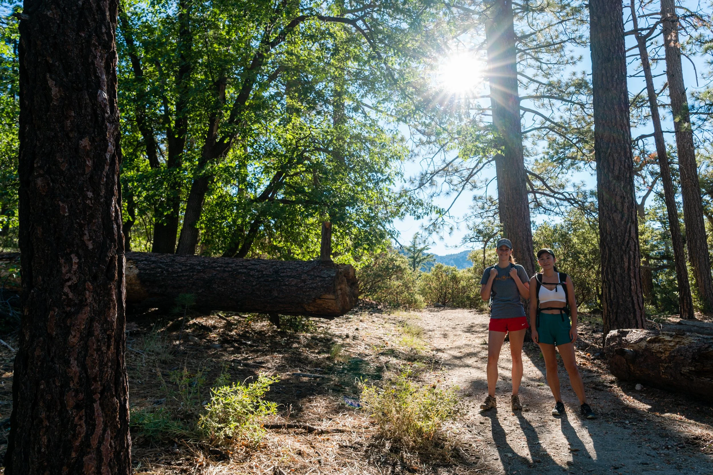
Ernie Maxwell Trail
There is some amazing hiking that you can do in Idyllwild, however, many of the trails are not family or kid-friendly. As the title states, the Ernie Maxwell Scenic Trail is the perfect trail for you and your family - including pets.
~4.6 miles | ~800 feet elevation gain | Out and Back Trail
Recommendation: Save some energy for the way back - this trail descends first

Suicide Rock via Deer Springs Trail
Suicide Rock provides unbelievable views of Strawberry Valley and Idyllwild. The trail begins one mile north of Idyllwild, right off of Highway 243. The trail incline is about 1,300 feet in the first 2.5 miles, making this a moderate hike but well worth the effort.
~7 miles | ~1,900 feet elevation gain | Out and Back Trail
Recommendation: You need a permit for this hike
Idyllwild Park | Yellow Pine and Perimeter Trails
Idyllwild Park has some beautiful and easy trails. This park is also a great option for folks who are camping in Idyllwild (Perimeter Trail connects to the campground). As I cover in the video, this trail guide focuses on Yellow Pine and Perimeter Trails. However, there are a lot of different trail options depending on how much you want to hike in one day.
~2.5 miles | ~420 feet elevation gain | Out and Back Trail
Recommendation: make sure to check out the nature center while you’re there

Panorama Point Trail
The Panorama Point Trail at Stone Creek Campground in Idyllwild is a gentle ~1-mile loop ideal for hikers of all ages and abilities. The trail goes through a forest of mixed conifers, offering a peaceful and accessible route with minimal elevation changes. Along the path, interpretive signs provide educational insights about the local ecosystem, including the notable ponderosa and Coulter pines. Located near campsite #12 and #14 off State Route 243, the trail features a stunning overlook with expansive views of the surrounding areas, such as Hemet, Menifee, and Lake Elsinore.
~1 miles | ~50 feet elevation gain | Loop Trail
Recommendation: This hike is dog friendly

Lake Fulmor Loop
The Lake Fulmor Trail Loop, situated in the San Jacinto Wilderness near Idyllwild, California, is a serene and accessible hiking destination suitable for all ages and skill levels. This brief 0.5-mile loop offers a minimal elevation gain of approximately 89 feet, making it ideal for families and casual hikers. Encircling the picturesque Lake Fulmor, the trail provides stunning views of the water and the surrounding forested landscape.
~0.5 miles | ~100 feet elevation gain | Loop Trail
Recommendation: The loop is obstructed. Turn around or enjoy some scrambling to get around the whole loop
